.png?width=489&height=100&name=DS%20VTM%20Logo%20Horizontal%20-%20Color%20Light%20(2).png "DS VTM Logo Horizontal - Color Light (2)")


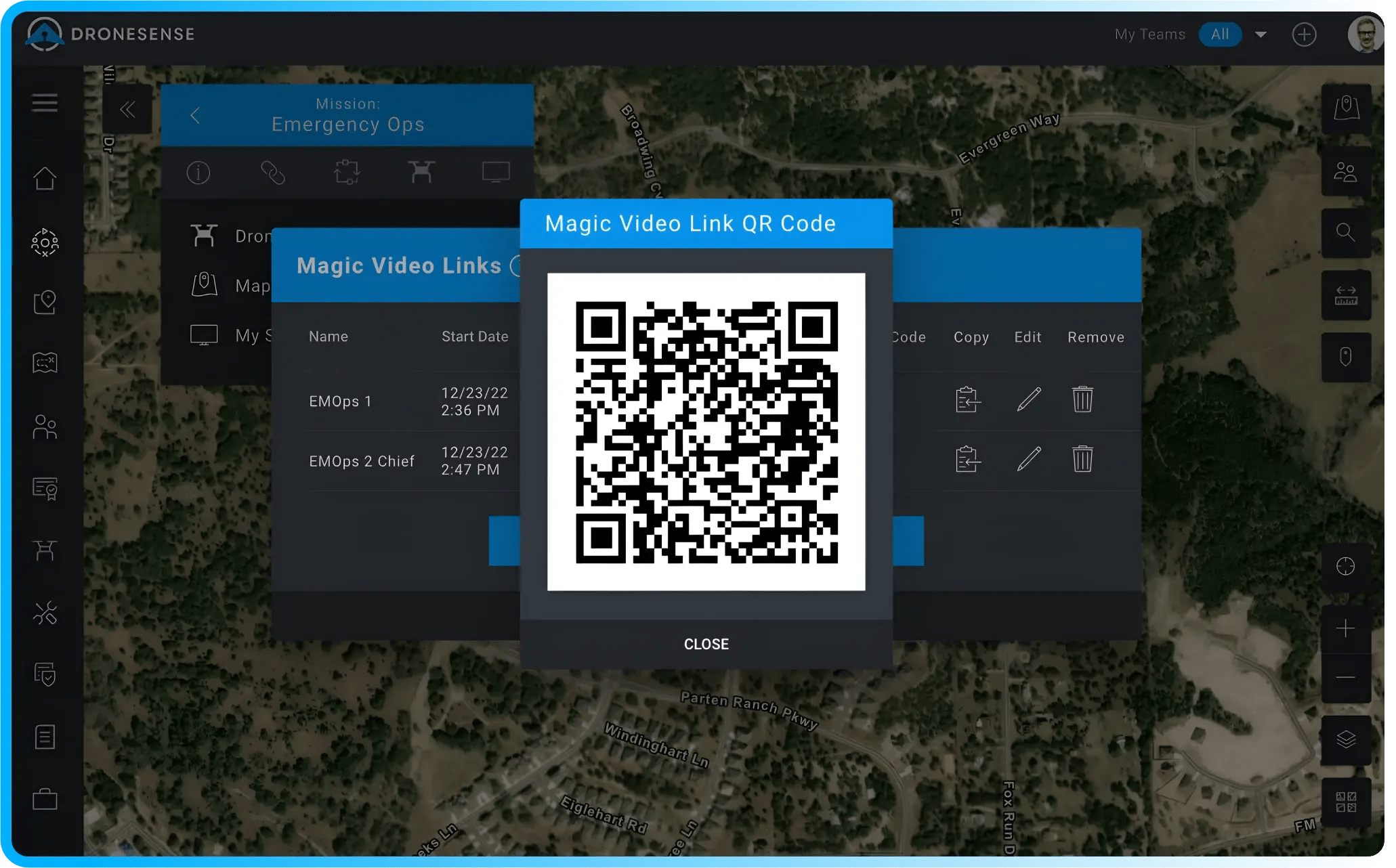
Get Everyone in on the Action with Magic Video Link
With Magic Video Link, you can securely generate a link via email or text that gives cooperating agencies and designated individuals or teams instant access to all streamed video during the mission, while eliminating sensitive details, such as map telemetry, pilot, or other drone information.
This ensures that command staff, key stakeholders, and field teams have the most accurate and up-to-date information at their fingertips without putting your data at risk.
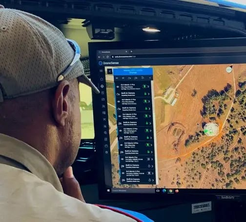
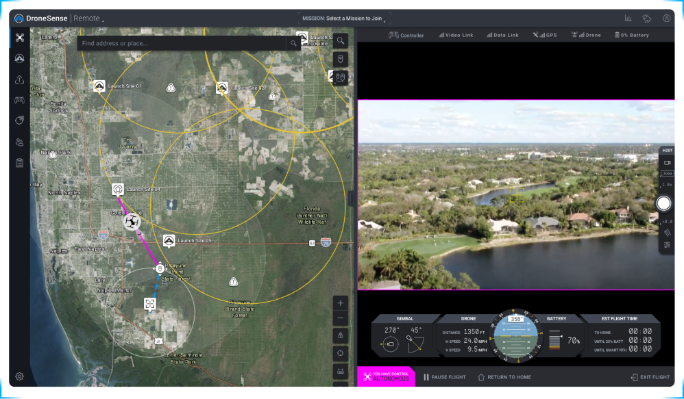
Experience the Power of Mobile Streaming & Tracking Technology (MSAT)
Imagine turning every cell phone or tablet into part of your command center action, capturing live-stream video and GPS locations from the boots on the ground.
Now imagine adding robots, manned aviation, or just about anything with a camera to help capture information and guide decisions. That’s the power of MSAT.
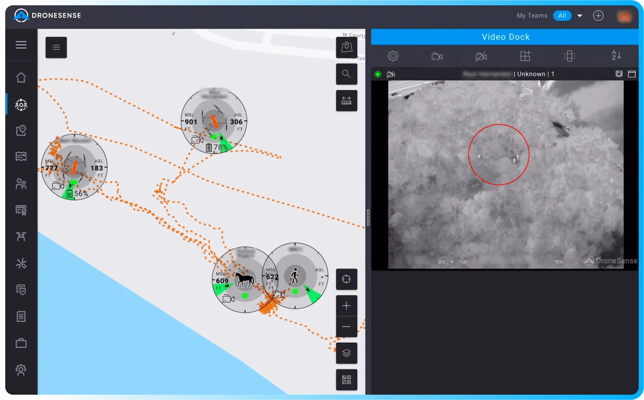
Take Mapping to the Next Level with Advanced Geospatial Features
Making sure everyone is on the same page with a clear map is vital during missions. That’s why our software comes equipped with map management tools to help you navigate situations from the routine to the extraordinary. From map caching and data layers, to offline sharing, we have you covered.


.webp?width=1017&height=685&name=commitment_to_data_security%20(1).webp)